The next turn can feel mysterious until you give yourself better guidance. These tools help you stay calm, stay oriented, and move with confidence.
1. Paper Topographic Map And A Simple Compass
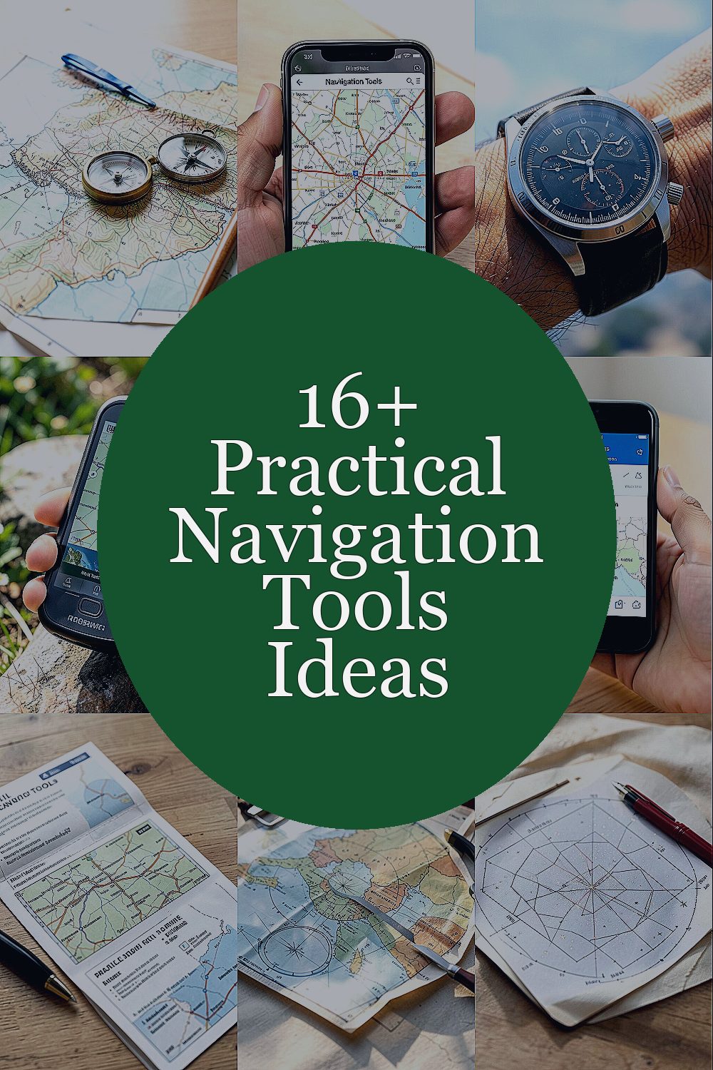
A good map feels like a window into the land. Pair it with a steady compass and you can match what you see with what the map promises.
Look for big shapes first, like ridgelines, rivers, and valleys, then confirm smaller features like trail junctions. Keep your compass baseplate aligned with the map edge, and practice holding the map flat while you walk. This setup costs very little, and it still performs in areas where batteries run out. If you like personal touches, mark your favorite routes with highlighter colors and add a small legend in your own words.
2. Offline Maps On Your Phone With Airplane Mode
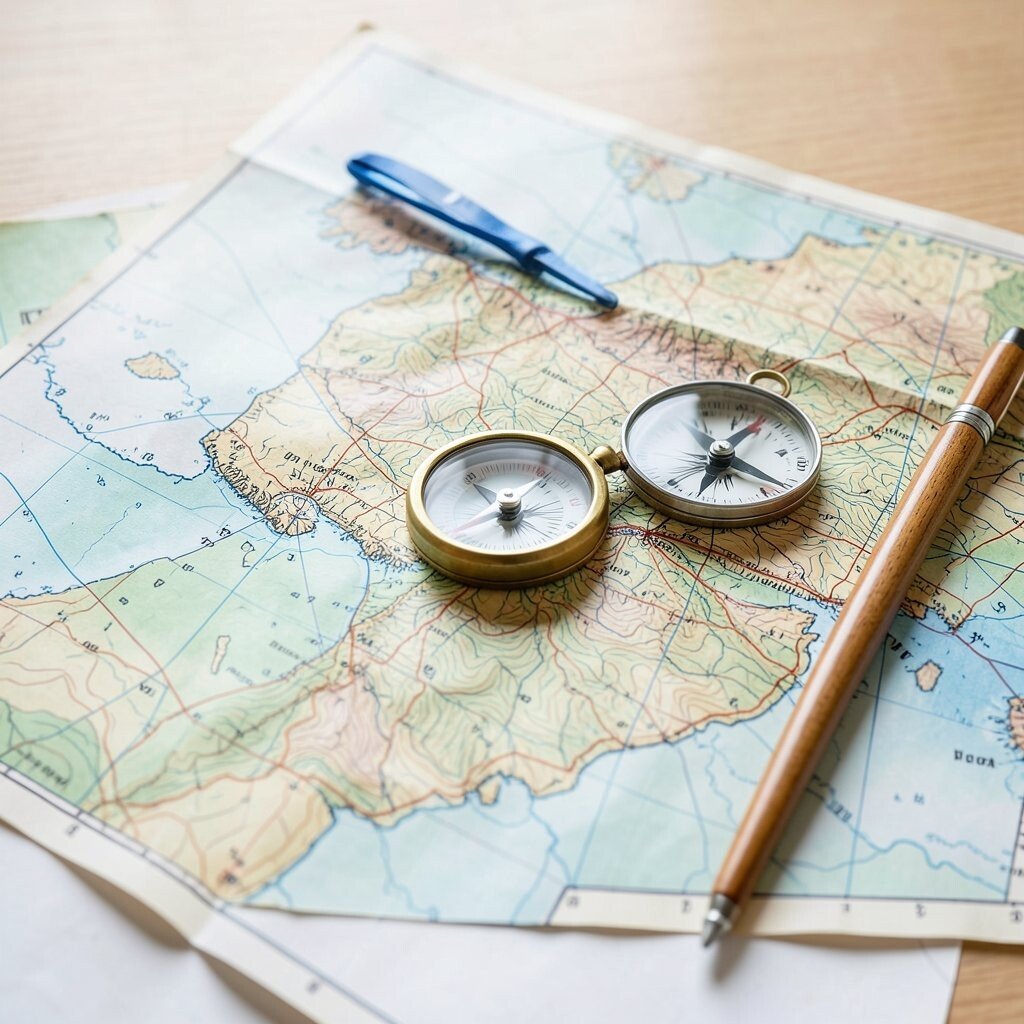
Modern phones can act like a pocket atlas when you save maps ahead of time. Even in shaky reception, offline downloads keep your position and route nearby.
Use airplane mode to reduce power use and stop the device from hunting for signal. Before you leave, search your route, download the correct region, and test it by checking your location outdoors. A key trend now is faster map caching and smoother GPS lock, so update your apps when you can. Personalize by creating a favorites list for parking spots, water sources, and your easiest exit routes.
For practical accuracy, zoom out to confirm direction, then zoom in to pick key turns. If you move off trail, watch how contours or land cover affect your walking speed. Bring a small power bank, because navigation plus screen brightness adds up fast.
3. A Wristwatch Altimeter And Barometer For Terrain Clues
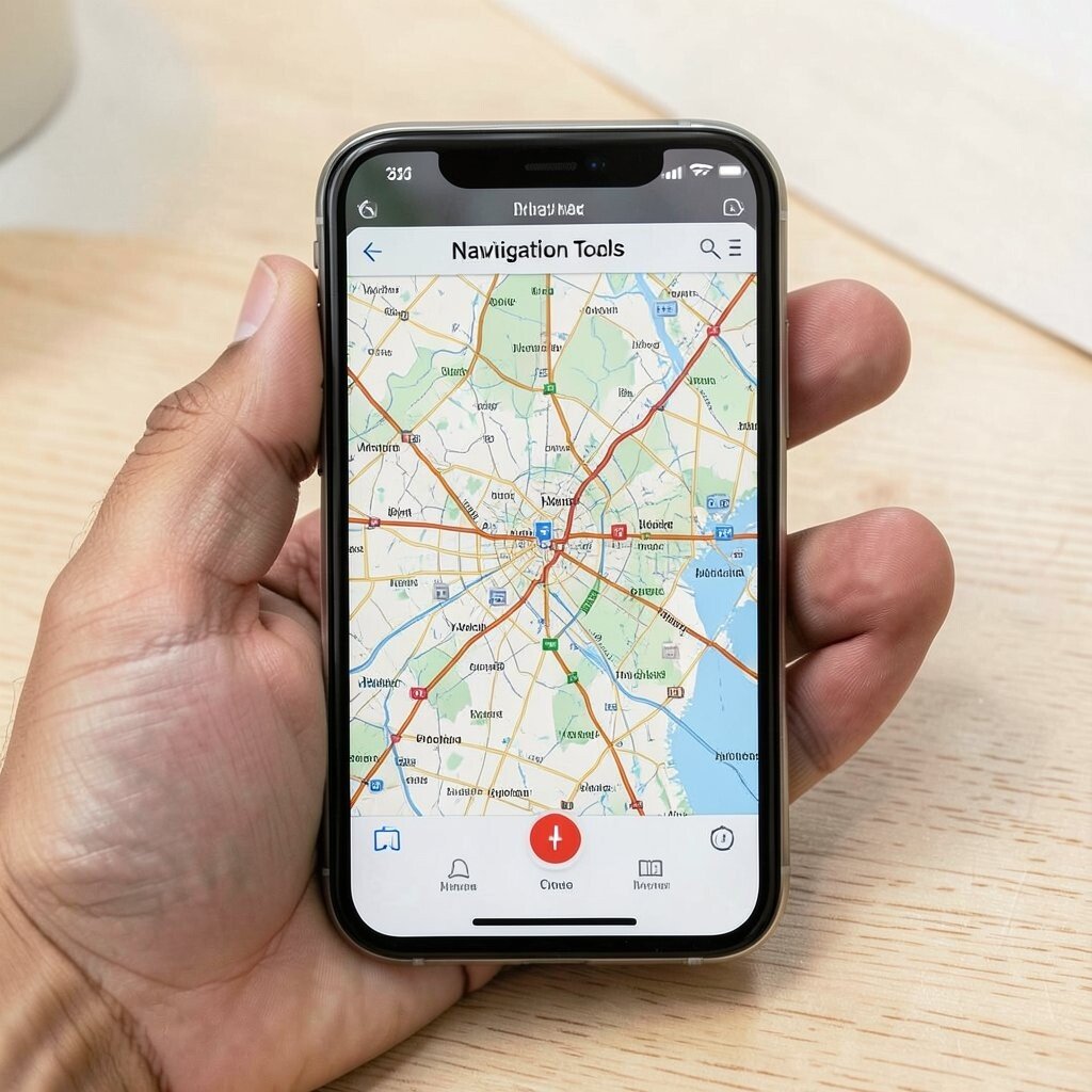
An altimeter can turn clouds, valleys, and hilltops into numbers you can trust. A wrist device also keeps your eyes off the screen when you need quick awareness.
Use it to confirm whether you are gaining or losing elevation as you climb. When the weather changes, barometric readings can hint at shifting pressure, which often matches coming cloud cover. This tool stands out because it works even when GPS reception is weak under tree cover. It can also help you pace yourself by spotting steep sections early.
Calibrate it at a known elevation when possible, like at a trailhead sign or recorded benchmark. If your watch supports it, switch between altitude and barometer modes based on conditions. Choose a model with long battery life and simple buttons so you can operate it with gloves.
4. GPS Track Recorder With Breadcrumb Trails
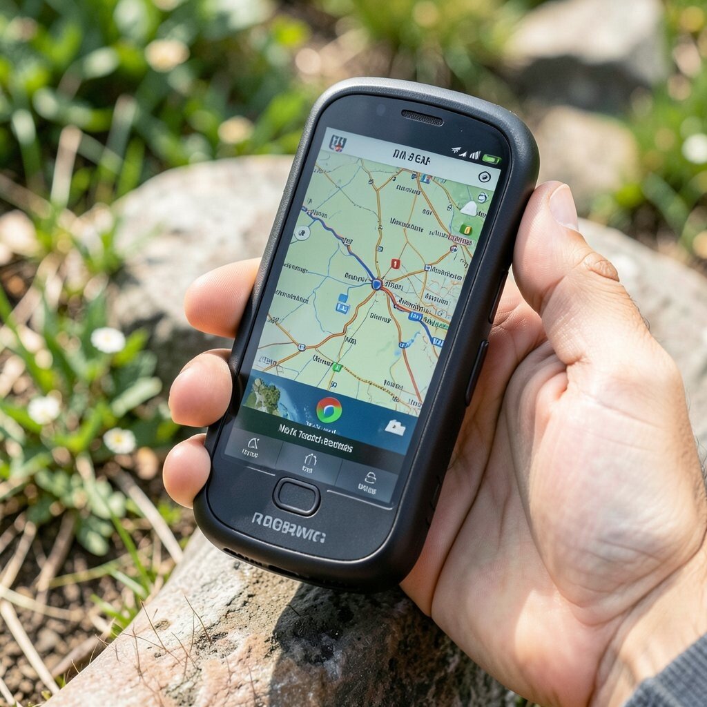
Recording your path is like leaving footprints for your future self. A track recorder shows where you’ve been, and that alone reduces stress.
Turn on recording at the start, then check your track at major junctions to confirm you’re on the right line. Backtracking becomes much easier when you can see the exact breadcrumb chain on your device. Many hikers like this tool because it supports planning for repeats and seasonal changes. If you want more personality, label each saved trip name with weather and trail conditions so you can compare later.
5. A Lightweight Handheld GPS For Remote Areas

A dedicated handheld GPS often locks faster than a phone. It also feels more sturdy, which matters when you’re wearing gloves or moving through brush.
Use it to navigate waypoints like springs, camps, and water crossings. Set the device to show bearings and distance-to-go so you can keep your head up. Battery life is a big reason people still buy handheld units, and many models use common rechargeable batteries. For cost thinking, compare basic GPS features first, then add extras only if they truly match your trips.
Personalize your waypoints with simple names like “bench view” or “rock crossing.” Keep your route files organized by season so your settings do not become a confusing mess.
6. Digital Compass App With Offline Calibration
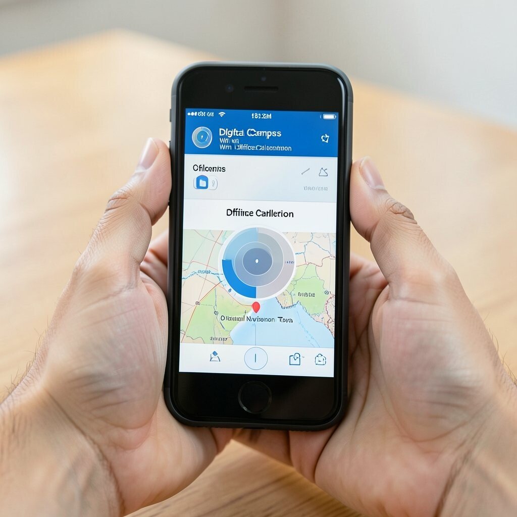
Sometimes you need direction now, not after you pull out a map. A compass app can help you read bearing when you stand still and take a moment.
To get real value, use a calibration step outdoors and away from metal objects like car parts. Pair the bearing with visible landmarks, such as a lone ridge or a line of trees. This tool is unique because it’s instantly available and easy to share with friends for group consistency. Many devices now offer tilt compensation, which helps you read heading when your wrist angle changes.
Make it personal by saving a few bearings to remember your general approach, like “toward the valley” or “toward the windbreak.” If you care about accuracy, practice using it early in your trip so it feels familiar before you need it most. Keep in mind that the phone compass is influenced by magnets, so keep the back away from gear clips and large metal buckles.
7. Physical Route Cards On Waterproof Paper
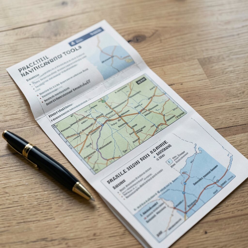
Route cards turn navigation into a quick glance instead of a screen habit. You can write short steps on waterproof paper and keep it in a map case or zip sleeve.
Include key points like start elevation, distance between major junctions, and what to look for at each turn. Visual description matters here, so write phrases like “boulder field left,” “dry stream bed,” or “junction under tall pines.” This is practical and budget-friendly because it uses supplies you can find anywhere. The uniqueness comes from how well it matches your own hiking style and your own vocabulary.
8. Sun Position And Simple Shadow Navigation
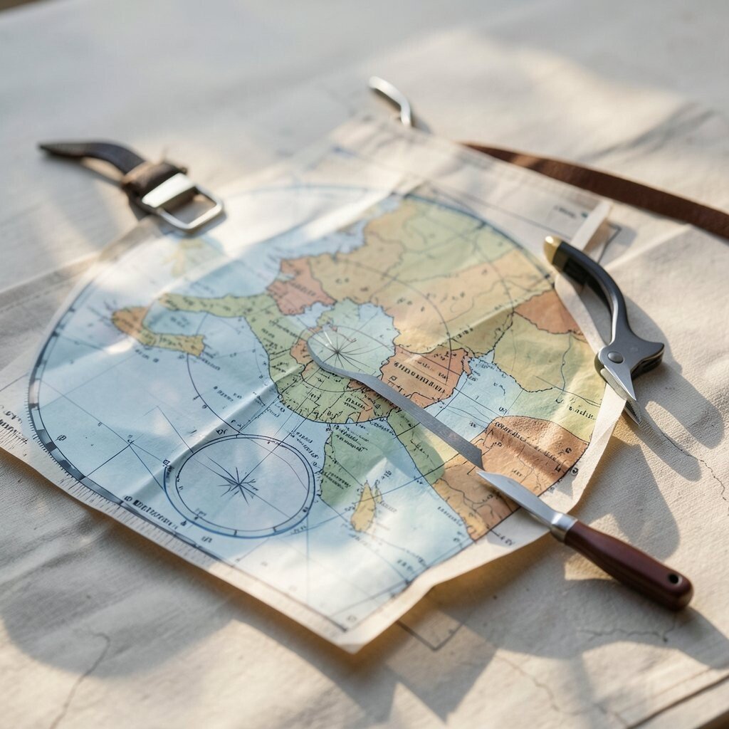
The sun can be a calm guide even when your gear fails. Shadow direction helps you understand where you are in relation to the day’s path.
Use a stick planted firmly in the ground, then observe where the tip of the shadow falls relative to a marked line. Over time, the shadow shifts, which can help you keep a rough orientation. This tool is unique because it works with zero power and costs nothing but a little patience. It’s a favorite in current survival and minimal-gear circles because it trains your eyes to land safely on patterns.
For practical tips, mark a couple of points spaced far enough apart to see movement clearly. Personalize by pairing shadow notes with your own mental map, like “sun behind means valley back.” If weather is cloudy, switch to other tools and treat the sun method as a backup rather than your only guide.
9. Star Navigation With A Simple Red-Light Plan
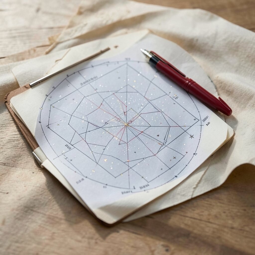
At night, stars can feel like the oldest navigation system in the world. A small plan helps you use them without guessing too much.
Choose a bright reference star and learn how it relates to direction in your region and season. A red-light headlamp keeps your night vision while you check your bearings quickly. This is practical for campers because night navigation can reduce wrong turns near camps and ridgelines. It also feels special and unique, since many modern adventurers now value low-light skills alongside GPS.
Personalize your star plan by writing down the star names you will look for on your next trip. Consider cost by using an inexpensive book or saved offline guide on your phone, then practice at home during a clear evening. When you can, confirm with a device reading so your confidence grows.
10. Waypoint Roll-Ups With Pre-Labeled Coordinates
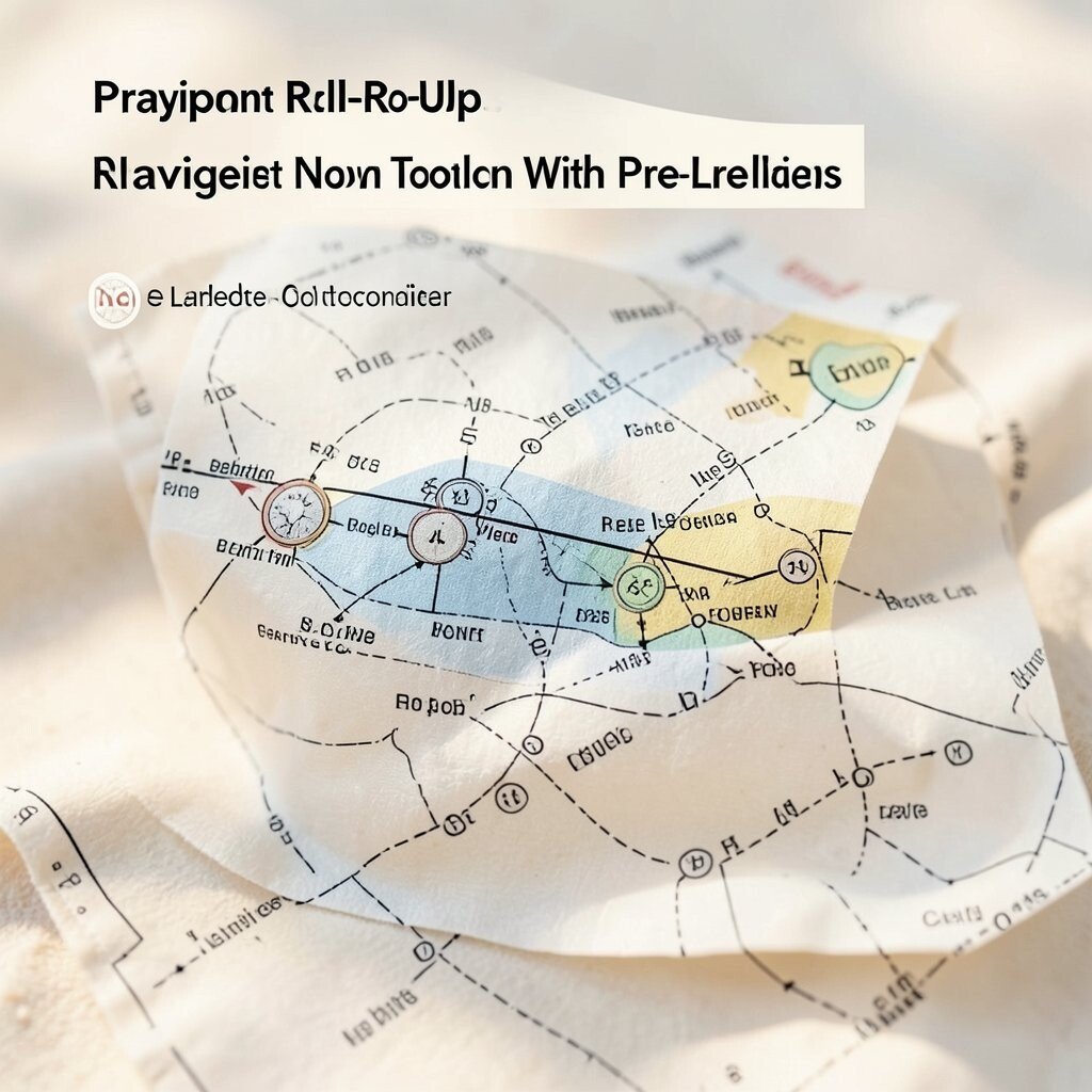
Waypoint roll-ups are small strips that store your key points in a neat, easy-to-handle format. Instead of scrolling menus, you unfold and find the next place name and coordinate.
Write the essentials on the strip: waypoint name, coordinate, and a short visual clue like “spruce grove” or “rock outcrop.” This makes navigation feel more human and less robotic, especially on long days. Keep the paper protected with a clear sleeve to handle rain and sweat. The uniqueness is in how it blends organized planning with quick, pocket access.
Personalize the order of waypoints to match how you actually hike, not just how a map orders things. For cost considerations, print on durable waterproof paper and use a simple label maker if you like tidy handwriting. When you update your route, replace only the strips that changed so you avoid editing mistakes.
11. Reflective Trail Markers And Marker Codes
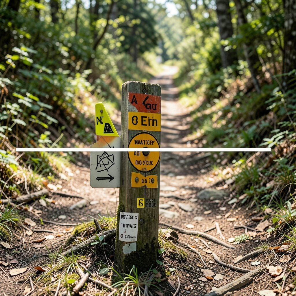
If you’re moving through messy terrain, your eyes need extra help. Reflective markers create a visible rhythm when trails fade or weather blurs landmarks.
Use small reflective pieces to mark the safest path through confusing sections, like the side of a creek crossing or the last clear rock step. Create a simple code in your notes, such as one marker meaning “follow this line,” two markers meaning “check the map,” and no marker meaning “look for natural cues.” This tool feels unique because it’s both practical and personal, built around the specific problems you face.
For safety and respect, place markers only temporarily and remove them afterward. Consider cost by using lightweight reusable options rather than single-use glow sticks. Personalize by matching marker colors to your own day plan, like green for easier travel and orange for careful navigation zones.
12. A Map Case With A Clear Cover And Anti-Glare Film
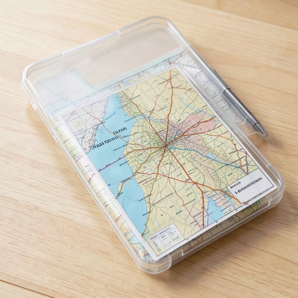
Good navigation fails when you can’t read your map. A sturdy map case with a clear cover helps you keep the page steady and visible.
Use anti-glare protection so sunlight doesn’t wash out the lines and text. Keep your compass on top of the map case so you can view both without losing your place. This tool is unique because it focuses on comfort and readability rather than math or tech. With current trends favoring lighter packs, many people choose compact cases instead of bulky binders.
Personalize by placing a small sticker for your route name and by using a binder clip to hold your route card. For cost, compare materials that handle wind and rain, because a weak cover makes you fight your gear instead of enjoying your hike. If your case supports it, store a tiny pencil loop for quick updates.
13. Dry Bag Command Center For Navigation Gear
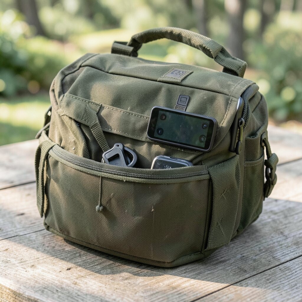
When navigation tools are scattered, your focus breaks. A dedicated dry bag keeps everything in one place so you can move fast and stay calm.
Pack your compass, route cards, offline map backup device, and small notebook into one waterproof system. Use a simple organization style like one pocket for paper and one pocket for electronics so you don’t rummage mid-travel. This tool stands out because it improves how well you use other tools, not just the tools themselves. Many current adventurers talk about reducing “mental load,” and this is a practical way to do it.
Personalize the bag contents based on your trip length, like adding spare batteries for a multi-day walk. Consider cost by buying only one durable bag and upgrading the rest gradually. Before leaving home, do a quick check so you know exactly where each piece lives.
14. A Small Mirror For Signal And Direction Checks
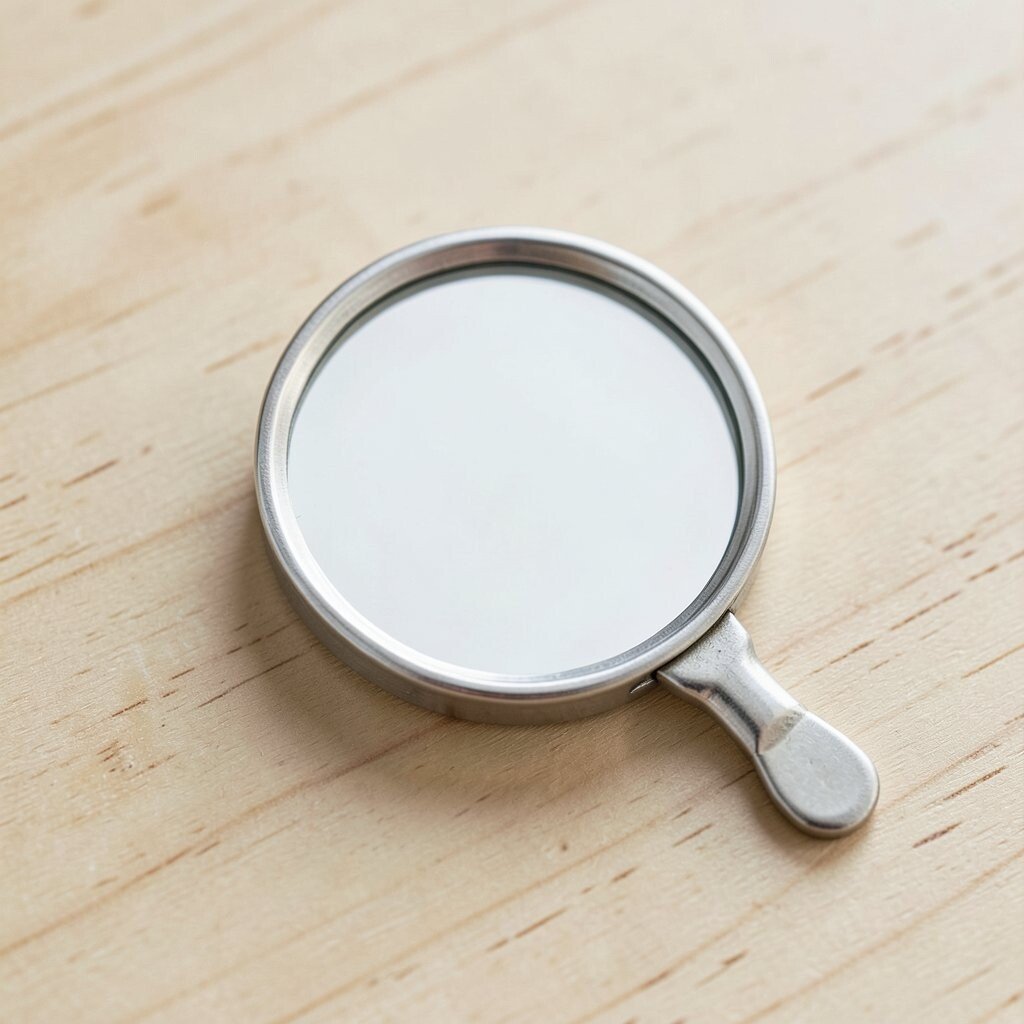
A compact mirror can sound unusual, but it can be useful for navigation in real life. It helps you check what’s behind you, signal for help, and communicate when visibility changes.
Use it to confirm landmarks while moving, like catching a view of a valley path you might otherwise miss. In emergencies, a mirror can create a quick flash to draw attention. This is unique because it supports both orientation and safety, which matters when weather shifts. Many hikers now carry multi-purpose items due to interest in lighter, smarter kits.
Personalize by pairing the mirror with a short note in your pocket about signaling distance ranges you might expect. Consider cost by choosing a small, shatter-resistant design rather than a big novelty piece. Practice once at daylight so you understand how to aim the flash with your arm position.
15. Trail-Sense Training With Frequent “Where Am I?” Pauses
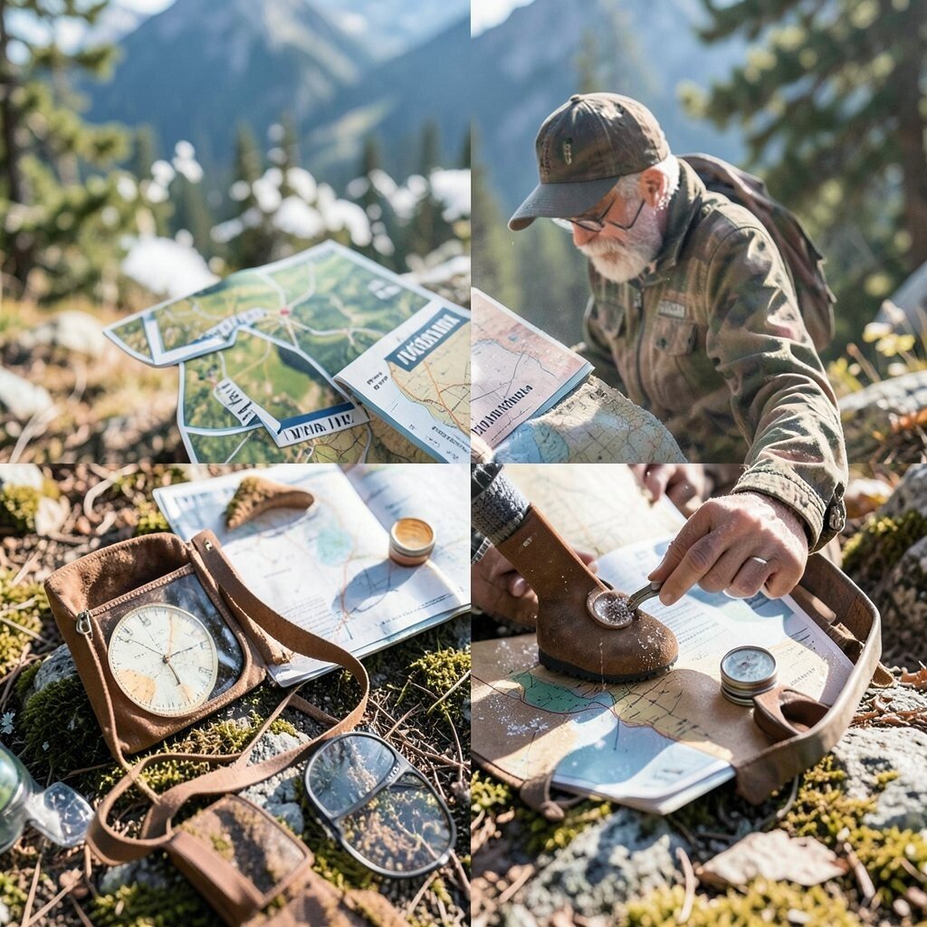
Navigation isn’t only about gear, it’s also about habits. Frequent pauses help you build trail sense and reduce the urge to rush.
At planned moments, stop for a quick check: identify the nearest land shape, confirm direction, and decide the next move. This habit makes your GPS and map feel smarter because you’re feeding them real observations. The uniqueness is that it turns your body into a navigation tool, noticing wind, slope feel, and sound changes. This matches current trends in mindful outdoors practice, where people focus on awareness rather than speed.
Personalize your pause plan by tying it to actions, like after crossing a stream or after reaching a new ridge. For practical tips, use a consistent script in your mind, such as checking landmark, then bearing, then distance. If you’re with others, agree on a shared pause rhythm so group decisions stay clear.
16. Headlamp With Red Mode And Quick Map Lighting
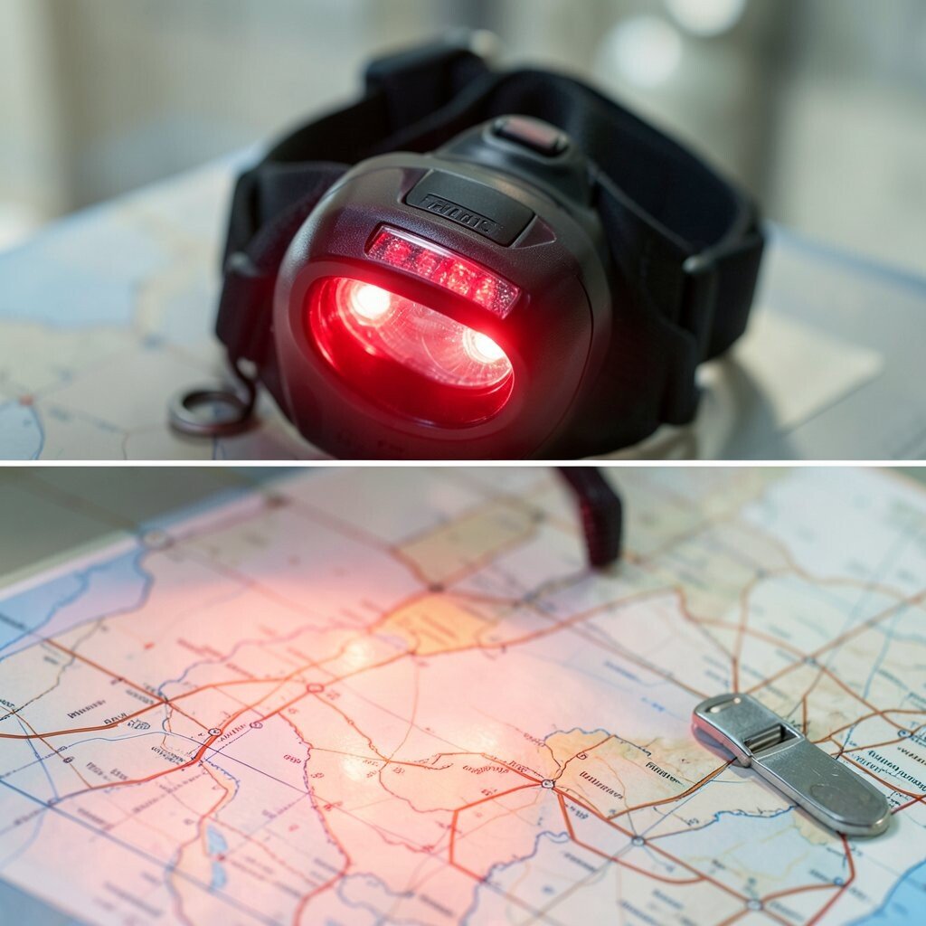
At dusk and in early mornings, light becomes a navigation tool. A headlamp with red mode keeps your eyes comfortable while you check bearings and read terrain.
Use the red light for short map checks and switch to white only when you need to spot trail edges. Angle the light to minimize glare on your map case, and keep your other hand free. This tool is practical because it protects night vision, which improves accuracy when trails are faint. Its uniqueness is how it improves every other tool by making them readable at the exact moment you need them.
Personalize your setup by marking your headlamp buttons so you can switch modes without fumbling. Consider cost by choosing a beam pattern that helps you see both near steps and farther terrain. If you bring backup batteries, label them and store them in the same dry bag as your navigation gear.
17. Smart Route Sharing With Friends And Check-In Times

Sharing your route can act like an extra safety system. It also helps you stay motivated, because someone else can watch your progress.
Use route sharing features or saved tracks so trusted friends can see where you are at check-in times. Set expectations clearly, like when you will reach a junction and when you will stop for water. This tool is unique because navigation is not just about getting there, it’s also about returning with a clear plan. Many adventurers now use this approach as part of routine safety habits since it pairs tech with human care.
Personalize the check-in schedule to match your pace, your planned breaks, and the complexity of terrain. For practical tips, include an alternate plan note in case you change course for weather or trail conditions. Consider cost by using built-in phone features first, then add premium tracking only if it truly supports your trips.